we feel like being on tour - for sure

We arrive at Surfers Paradise:
As we enjoyed the nice beach, the sun, the sea and - of course - the waves - we took these shots:

Bodyboarding is not a crime....
==================================================================
Close to "Surfers" an old wildlife park is on our "things to do before we go on"-list.
WE TOUCHED THESE KOALAS... in the koala touching zone:
these ... we did NOT touch... of course.... :
==================================================================
As we're going more south we are passing these signs:

==================================================================
a 30 minutes walking track is just right for us to cool down:
Located at the hills in the hinterland of tweed heads (click here to see a map)
Its an WORLD HERITAGE AREA (sagen wir mal: "Weltkulturerbe")

Subtropischer Regenwald mit einigen Info- und Hinweis-Schildern, die alles mögliche erklären sollen.
==================================================================
The border between the States "Queensland" and "New South Wales" - Twead Heads!
and we slept exactly on top of "Pt. Danger" - at the waterfront - the boundary Street
(see this link for a map of Point Danger)

==================================================================
This is the view out of our van on my BIRTHDAY on June 2nd 2007.
(Pt. Danger, new south wales)

Anne surprised me with a healthy, delicious brekky.... We had fresh fruits ...
 and PANCAKES with chocolate topping!
Unfortunalety they were not as yummy as the ones made from mum at "HOTEL MAMA"
but they were OK.

After that great "brekky" we continued our journey to BYRON BAY:
==================================================================
Byron Bay @ sunset
SEE THIS MAP (WHERE BYRON BAY IS LOCATED AT)
And pretty far in the sea we saw some whales splashing with their sidewind to the water surface...


We spent one night in this region to continue to Mt. Warning National Park in the Hinterland.
==================================================================
On the way from "Byron Bay" to "Mt. Warning"
At Mt. Warning there are Rainforest Areas right from the time where the former supercontinent "godwana" was still current. (before the continents seperated into single continents like africa, australia and so on).
It also an World Heritage Area:
Just a small "shop" on a lonely street...
ANNE couldn't leave without spending some money on fresh and healthy lemons, oranges and grape fruits.
Some of the bridges in the hinterland are just like this one:
A short stopover at this sight:

==================================================================
While cruising through the so called "hinterland" (the aussies really say "hinterland") we decided to spend one night in
and here we did wake up:

absolute Stille... bis auf das Plätschern des Wasserfalls...
 the town is called "Bangalow" (click here to view)
==================================================================
how education works in the hinterland:
 ==================================================================
These are the pictures from our hiking trip to the summit of Mt. Warning.

Here you see us at the carpark-area. We got up on this morning at 03:30 so we were pretty tired and not highly motivated as usual because it was cool, dark and wet.
The sun started it's impressive dawn...
We started the hiking trip at night and continued while the sun rised
But I try to show the direction were Byron Bay is located at (as the sign in front of me shows)

==================================================================
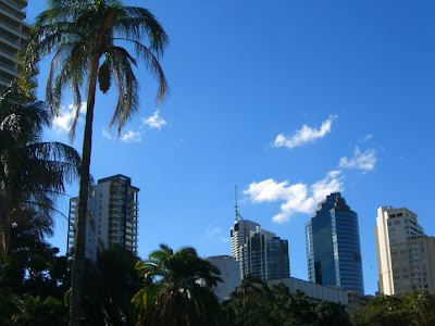
The Botanical City Garden in downtown:
==================================================================
What can you get at ALDI Australia?
See da following pics:


==================================================================
Best regards from the OZ-eastcoast
c ya, anne & gerald


<< Home